BACK TO WEATHER-BLOG MENU
New! Fine Art Prints & digital images for sale-
Welsh Weather & Dyfi Valley landscapes Slide-Library - Click HERE
"The latest end of month statistics show it was provisionally the warmest winter for England and Wales since the record series began in 1910, while it was the third-warmest for the UK as a whole. The warmth has been most notable in the south of the UK with mean temperatures across much of the area more than 2C above average. In the Central England Temperature record series, the longest temperature record in the world dating back to 1659, this winter has been the second-warmest at 6.7C, just behind the previous record of 6.8C set 1869.
It has also been the wettest in the record series for Wales, Scotland and Northern Ireland and the second-wettest for the UK as a whole just behind the winter of 2013/2014. Following the extreme rainfall in December and early January across mainly northern and western parts of the UK, this has been a wet winter. The figures show a rainfall total for the UK of over 529 mm, well above the long term winter average of 330.4mm. This makes Winter 2015/16 the second wettest on record behind 2013/14 (545mm). These are the only two years with rainfall totals exceeding 500mm, the next wettest is 1995 (485mm)."
Hardly suprising that there was little to be worth tackling with the camera. One thing of particular note was the extremely mild temperatures, leading to some anomalous plant behaviour. Just as an example, the first flowering celandines are normally to be found in February. This winter I found several in late December!
I therefore hope that this post more than makes up for the lack of material of late. It's a bit different in that it mostly involves weather from outside of the UK, but of such an impressive nature that it would be a pity not to share it. In late March I accompanied my sister and her partner to the Sierra de Tejeda in southern Spain - with free digs, a cheap flight and an ultra-cheap cost of living, it was a no-brainer. More about that part of the world soon: this post concerns the flights out there and back here. Now up until then I'd made two return plane journeys in my life, the last in 1980, so I figured the occasional one would not be too damaging in terms of my carbon footprint. Some reckon that one return flight every three years is acceptable: with 36 years flight-free I've notched up a few credits, I guess.
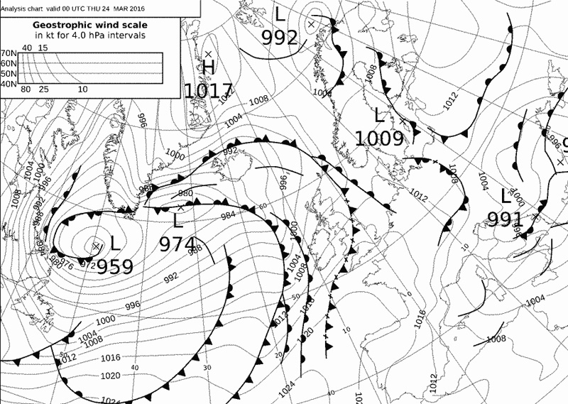
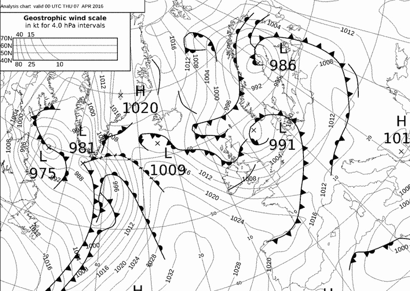
The out-trip took off from Birmingham on the cold, damp wintergrey morning of March 24th. The synoptic chart below shows the situation - miserable basically over the UK but with an eastwards extension of the Azores High nosing into N Spain and NW France offering the promise of clearer skies southwards....
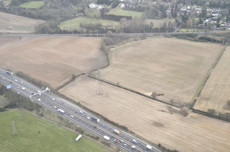
Aircraft windows are far from ideal as photographic vantage-points so I got to work soon after take-off in order to get the hang of things...
Soon we were climbing through the base of the cloud-deck...
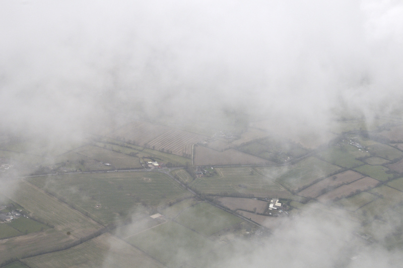
...until we were cruising just above its top. This was the view for quite some time...

Finally, we encountered clearer conditions over the northern Spanish coast, with just broken small cumulus. Things would now become more interesting...
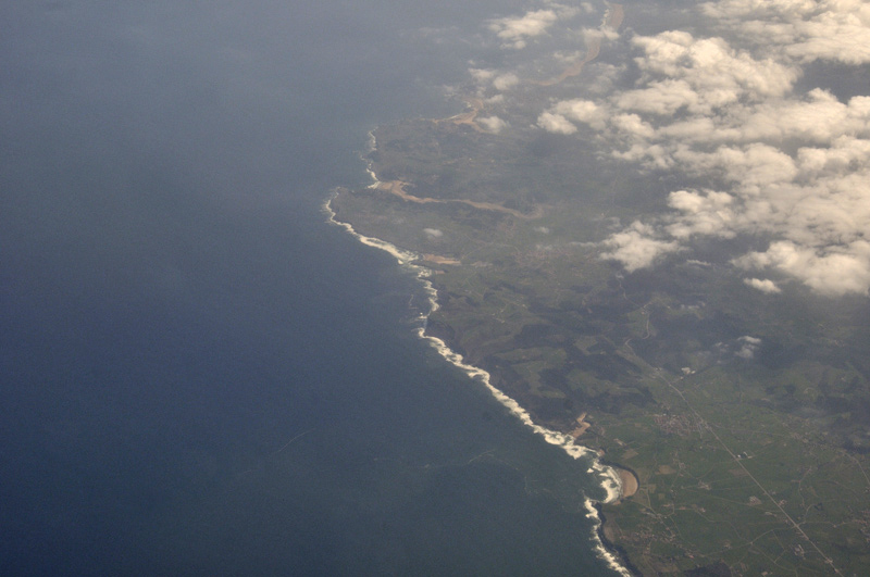
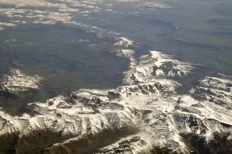
Crossing part of the Picos de Europa mountain range, the extensive snow-cover reminding me that Spain is a large country with a Mediterranean climate at one end but with the Atlantic the main influence at the other.....
In the far east the Pyrenees formed a narrow white band along the horizon. This is a telephoto at 200mm. Even more snow here but then they are a lot higher...
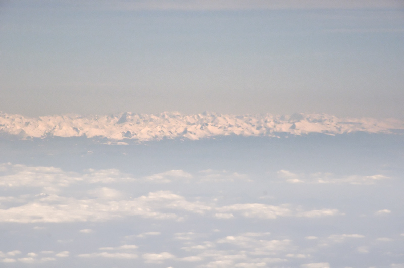
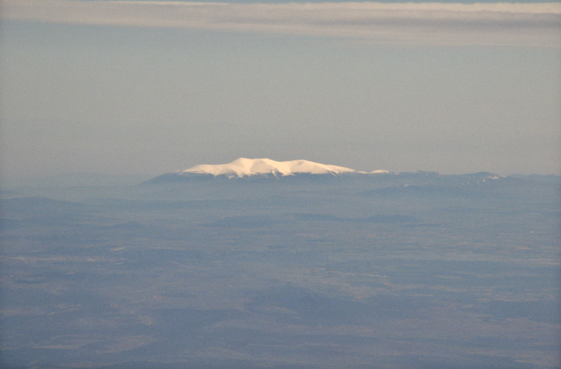
In this zoom-out to wide, the Pyrenees are the pale band on the LH horizon. The Central Spanish mountains are in the middle, while way behind them is an isolated snow-capped peak:
Telephoto of the same peak, digitally cropped. I was wondering if it was the higher part of the Sierra Nevada but having checked online photos I'm still unsure. If anyone recognises it I'd be glad to know! I guess some very distant things can be seen from 30,000 feet plus.
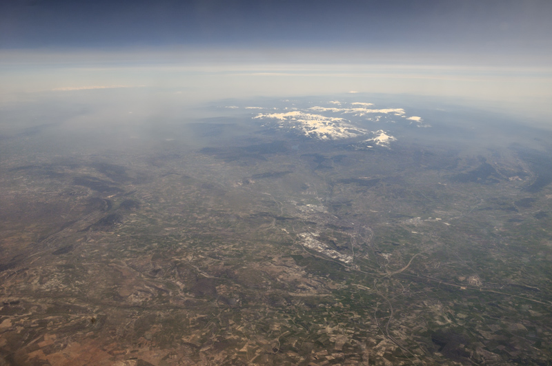
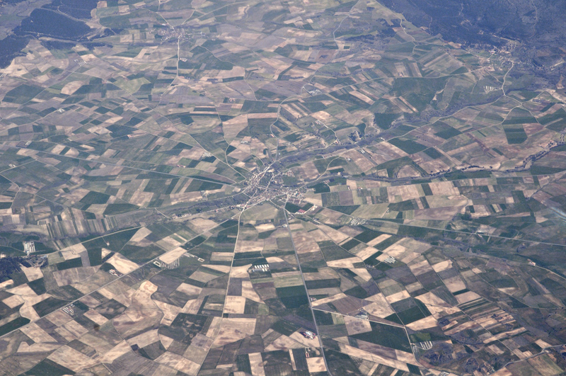
Some parts of the Spanish interior have a very arid look to them, but green fields among the brown ones hint at irrigation of crops. I think this is Turegano...
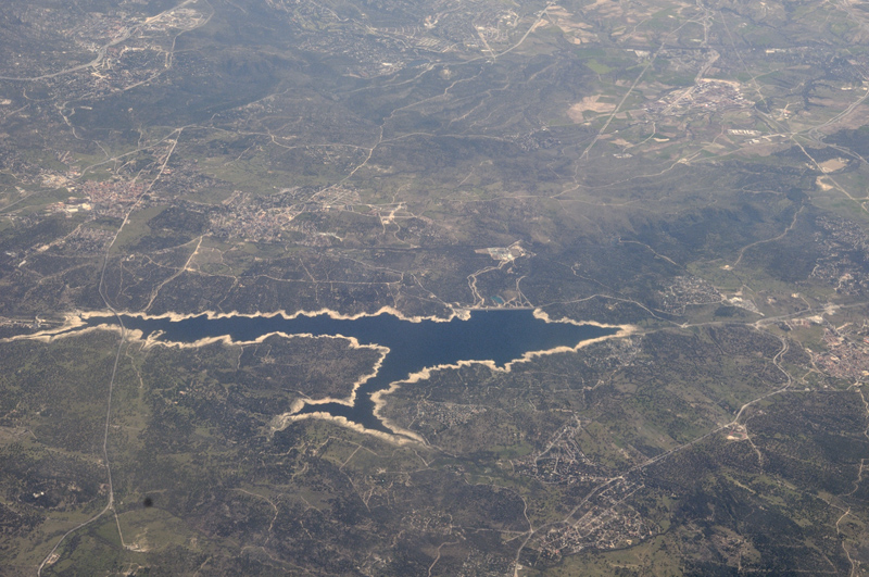
More evidence for rainfall coming up short. All the reservoirs I saw, like this one a few miles NW of Madrid, were similarly down in terms of water levels...
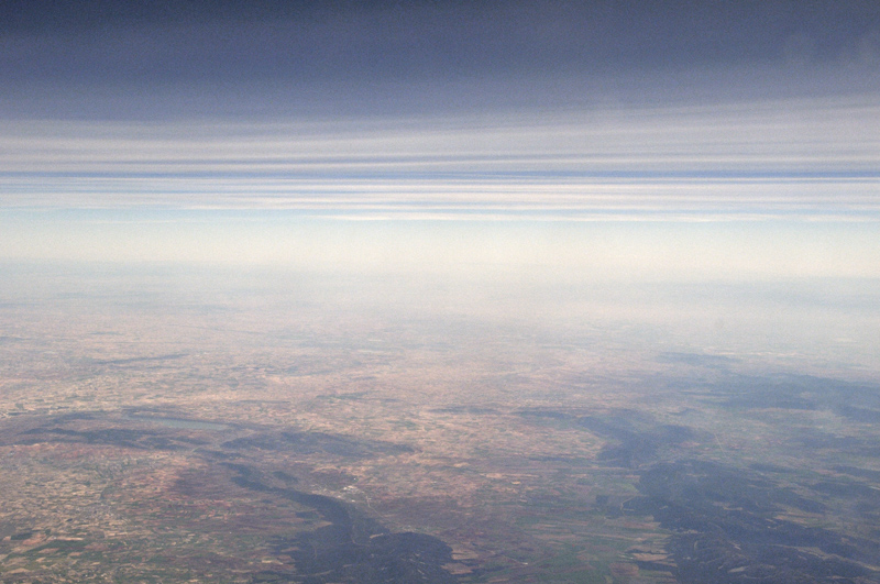
Low haze over the country to the south of Madrid: high pressure often traps pollutants...
As the 737 continued southwards the southern mountain ranges came into view. Sierra Nevada definitely visible on the horizon, centre frame...
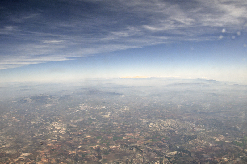
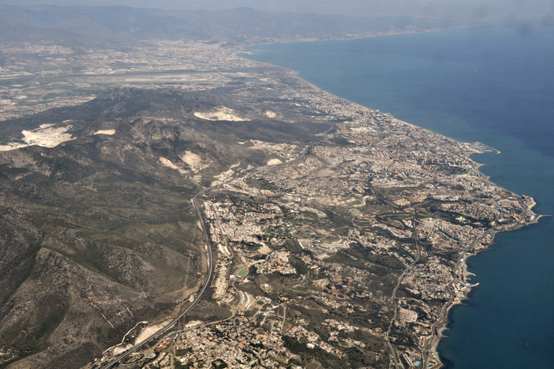
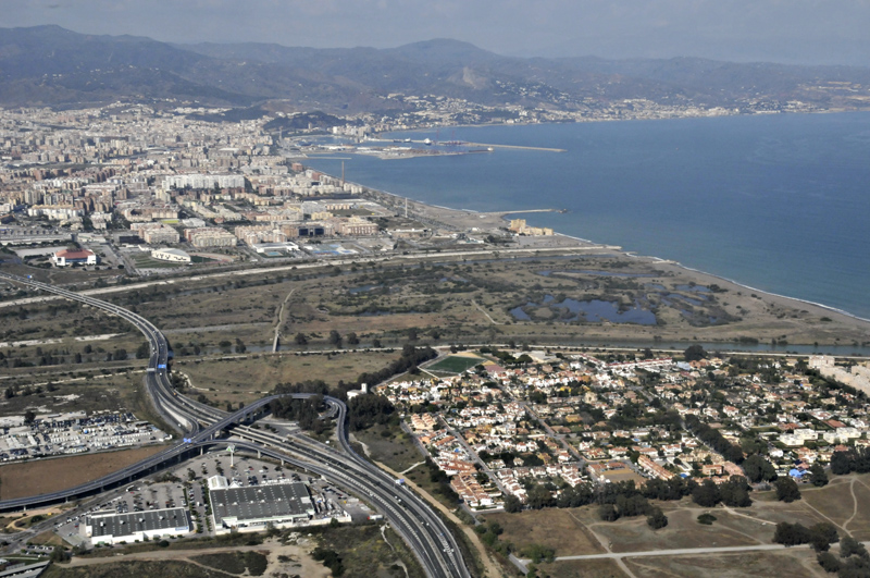
Approaching Malaga, the coastal concrete-sprawl of the Costa Del Sol was the most striking feature, with the amount of haze over the Mediterranean also noteworthy...
After much hillwalking, we made the return trip a fortnight later. This was to be a late afternoon-early evening flight with low-angle sunshine featuring throughout. The synoptic chart shows low pressure in the North Sea with a showery NW airflow affecting NW Europe with another nose of high pressure along the north coast of Spain. The flightpath would run south to north, leaving Spain near Santander, then cutting across the eastern Bay of Biscay before flying over Brittany towards the Dorset coast....
Here's a graph showing the flight altitude and speed from the FlightAware website:

Torrential rain three days previously had cleared a lot of the dust and haze from the lower atmosphere, giving much better visibility. This was to prove most advantageous. We climbed up and away from the Costa sprawl....
Passing over a fairly deep but not particularly active cumulus field, over the southern mountains:

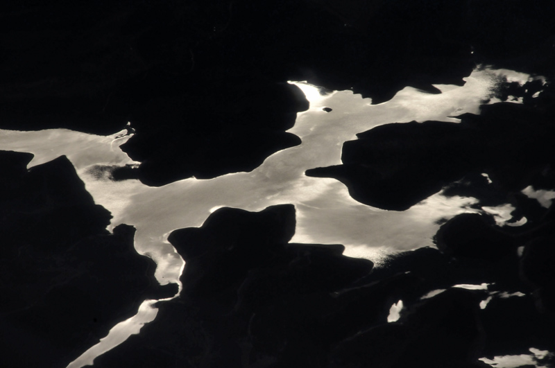
Breaks in the cumulus deck over central Spain allowed me to capture the sunlight reflected far below, on the now-replenished reservoirs. I have a few of these of which this is perhaps the best:
Over Northern Spain we encountered an almost continuous cloud-shield. No idea when we crossed over the coast!

Gradually, a change became evident as the plane drew away from the stable nose of high pressure, with active convective cells beginning to come into view...

Lots of unwelcome glare in this wide-angle shot. I just kept it in to show the change in conditions and the gleam of sunlight on the sea below.
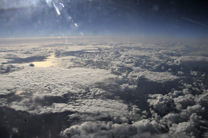
As we flew further north the cumulonimbus clouds became more substantial and solid-looking, many having overshooting tops - the upwards bulge of cloud in the centre of the flat-topped anvil. The bulge marks the top of a particularly powerful individual storm updraught. The anvil itself marks the entire cloud-top spreading out under the Tropopause, the major temperature-inversion that marks the boundary between the Troposphere and the Stratosphere above (the layer of the atmosphere within which the plane was flying). So strong is the inversion that convection cannot breach it as such: it is too weak a force. But the strong momentum of the upwards-rising air can still push against the Tropopause if strong enough. Many such storm-clouds posess an overshooting top at some point, briefly. However, a cumulonimbus with a long-lived overshooting top indicates an equally long-lived and powerful updraught, a sign that the storm may produce severe weather such as larger hail or a tornado.

Overshooting top in more detail (and without annoying reflections). In the smaller towering cumulus in the foreground, mid-level speed-shear is apparent. Winds increasing with altitude are tilting the towers over to the right.

Here's an isolated large cumulonimbus drifting over the sea.

We then approached and flew over a much more organised-looking line of storms extending into the distance and possibly marking a line of low-level convective forcing, such as a surface trough. Thanks to a slight course-change, the glare was now less of an issue: the next ten minutes brought an absolute feast of storm-structure:

Just WOW! Look at those overshooting tops! Some of the best storm structure I've seen, and from a very novel angle...
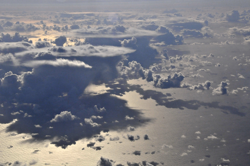
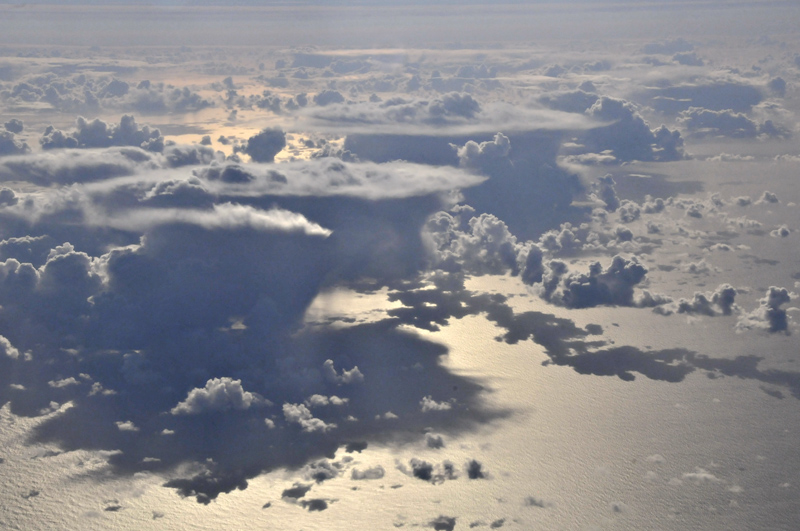
Unlike conventional storm-chasing however, parking up to watch the spectacle is not an option! Soon we were leaving the line behind in the distance and crossing an area where the convection was less intense...

Zoom-out to wide with the more organised storms now distant...

The flight-path over Brittany and Southern England was less interesting as the cloud closed in again, but a final storm was encountered during the descending approach to Birmingham, the pilot weaving a careful course around its core and updraught. Getting below the cloudbase, shafts of hail could be seen falling in the setting sunlight, with vehicles on a main road (possibly the M5 motorway) using their headlights.
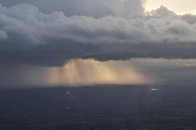
Thus ended one of the most interesting weather-watching sessions I've had for some time. The outward flight gave some interesting insights into the Spanish climate and how it varies from north to south but the return journey was awesome. Clearly, the last three hours of daylight are an excellent choice for the weather photographer, something I'll bear in mind next time, probably in early 2017: I have appointments with a number of mountains, to which the next post will be dedicated!
BACK TO WEATHER-BLOG MENU
New! Fine Art Prints & digital images for sale-
Welsh Weather & Dyfi Valley landscapes Slide-Library - Click HERE