(including the "beast from the east" and the drought)
BACK TO WEATHER-BLOG MENU
The Welsh Weather & Dyfi Valley landscapes Image-Library - Click HERE
January passed in something of a fog. Within a day or two of the last update, influenza struck and it put me out of action for the best part of a fortnight, including one night of raging fever the likes of which I have rarely experienced. Anyway that time of year is dark and miserable so I didn't miss much! The ground was utterly waterlogged for the whole month: on the very wet afternoon of the 21st (when nearby Trawscoed recorded some 36mm of rain), water simply ran off the saturated fields onto the roads, which I can testify were not easy in my little car. The old jeep would have coped a lot better! I didn't have the camera to hand on this occasion, although in fading late afternoon light and lashing rain any attempt at photography would have proved difficult.
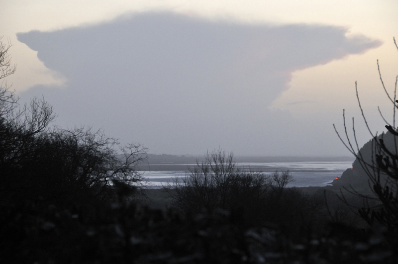
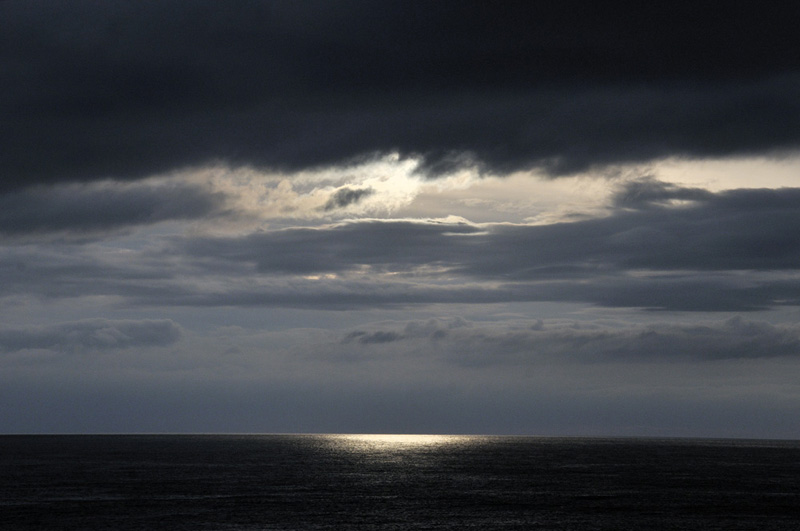
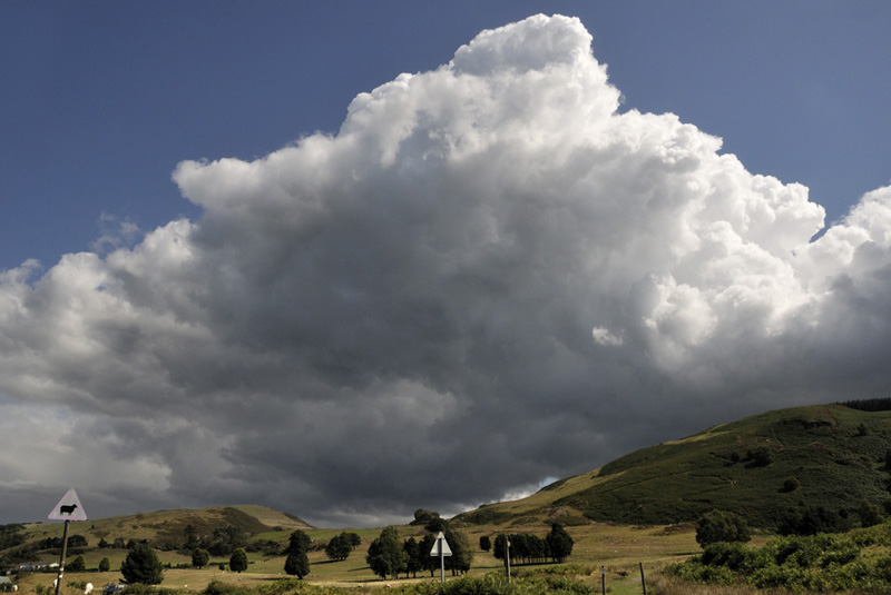
Late one afternoon I captured a neat thunderhead drifting up through Cardigan Bay:
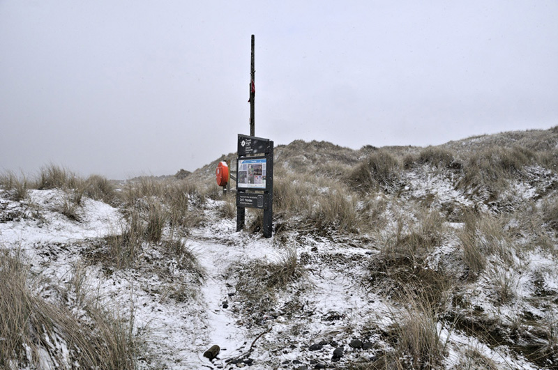
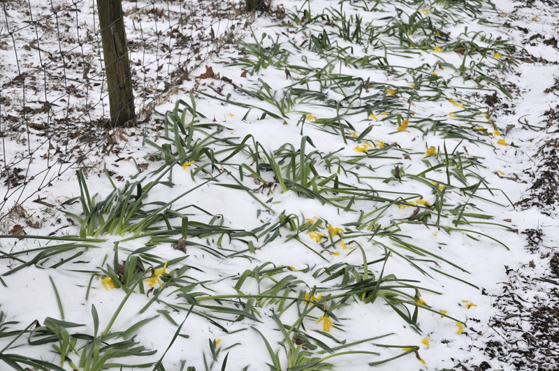
February was fairly damp and clearer days were eagerly snapped up walking various paths in the district NE of Dolgellau and examining the rocks. You need all the sunshine you can get at that time of year! Later in the month though, an easterly airflow set in and temperatures fell sharply - enough to allow snow to settle even on the shingle along local beaches. This is Ynyslas Dunes in unusual conditions!
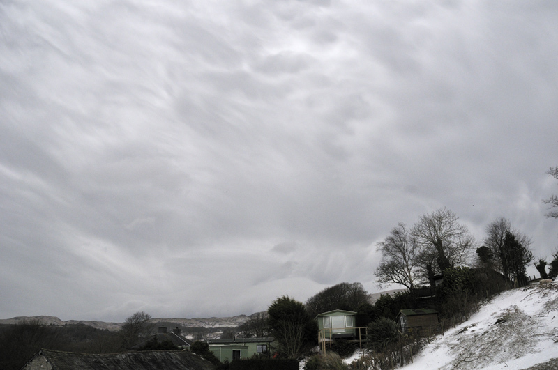
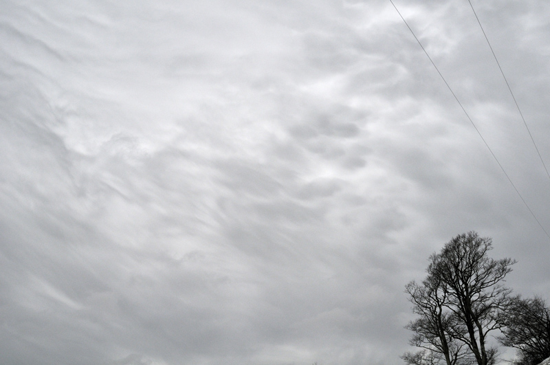
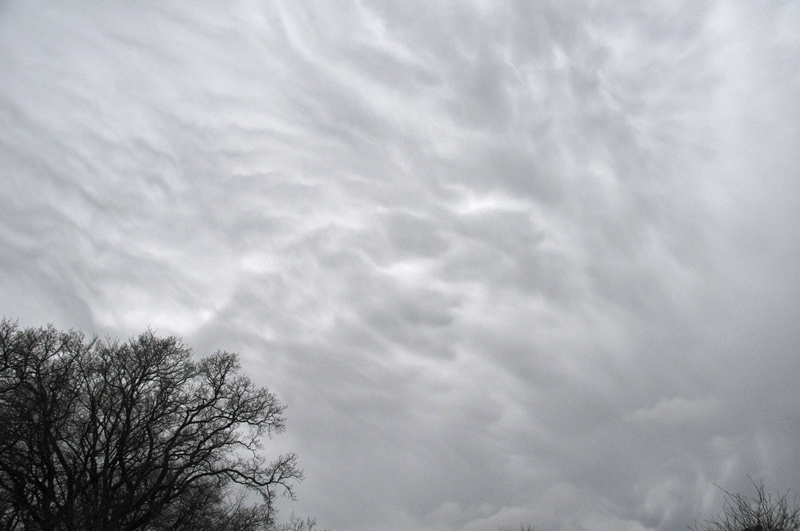
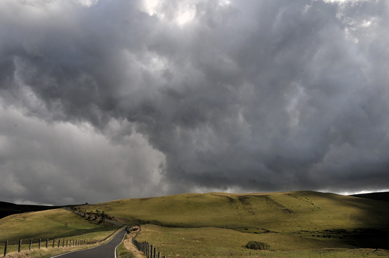
The snow/wind event known in popular parlance as, "the beast from the east" was more of a wind event here. Little snow actually fell, although it all piled up in drifts. On the afternoon of Friday March 2nd, I photographed these incredibly turbulent clouds overhead near HQ:
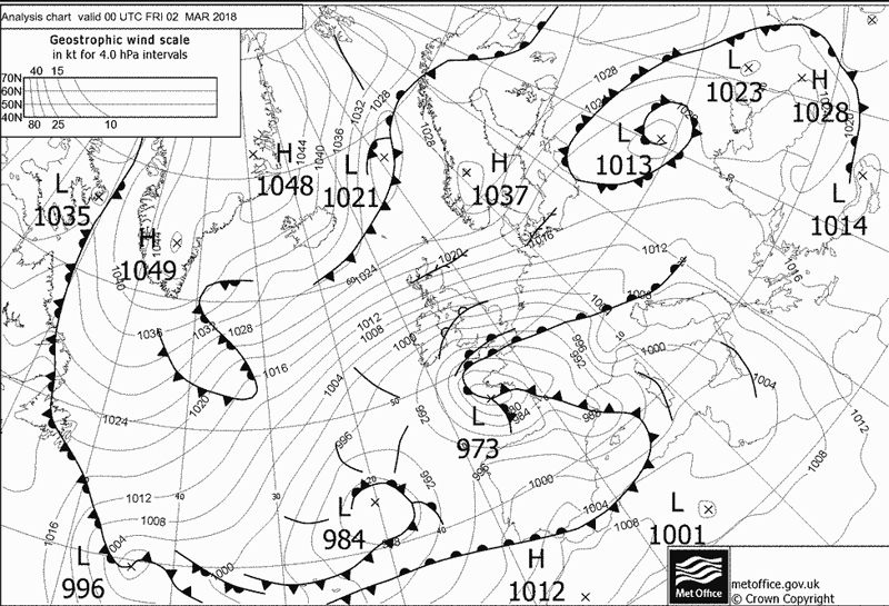
That very morning, reports had come in of roof-damage (including one roof blown-off) on the coast at Tywyn; Alan Cole's weather station at Ynyslas had recorded a gust in excess of 100mph. This was an exceptionally strong and destructive easterly wind and its worst effects seemed to have struck the lee-slopes of the Cambrian Mountains, implying a katabatic element on top of the tight pressure-gradient due to the synoptic situation:
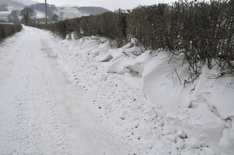
The area nearer to the low centre was always most prone to snowfall, which caused chaos in many parts of Wales. Here, this was as bad as it got:
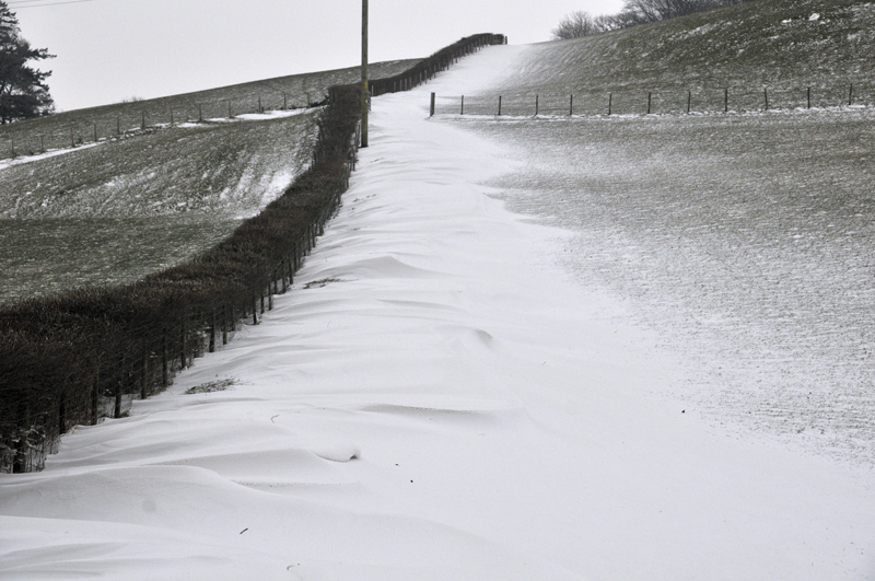
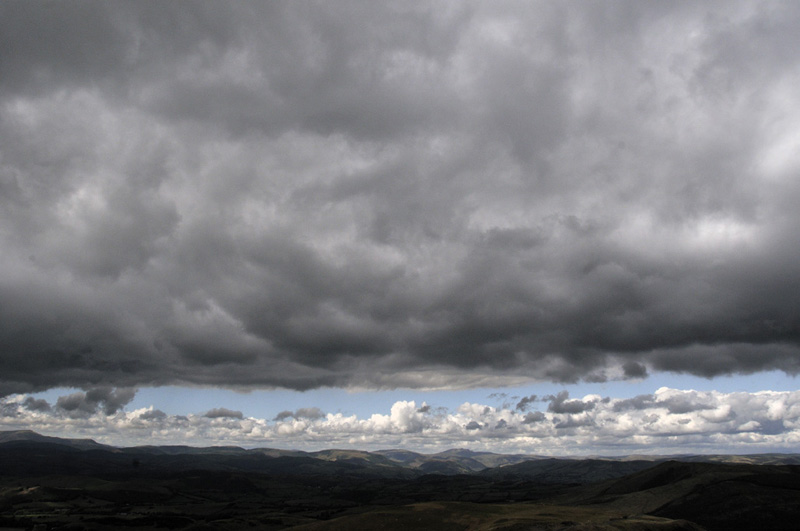
The bitterly cold temperatures, made worse by the wind-chill, put a prompt stop to any idea of spring:
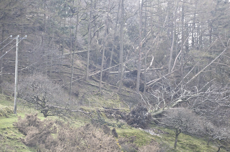
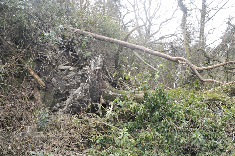
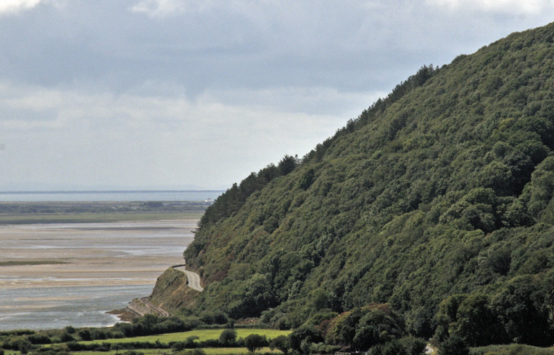
Once the back-roads were good again, I took a look along the nearby Cwm Maethlon (AKA Happy Valley), a wooded valley leading down to the coast near Tywyn. Severe tree-damage was everywhere:
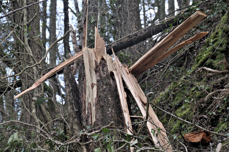
Both soft- and hardwoods had been knocked down in swathes: although the damage was not as severe as that following the February 12th 2014 wind-storm. Nevertheless, scenes like this bear testimony to the savagery of the conditions:
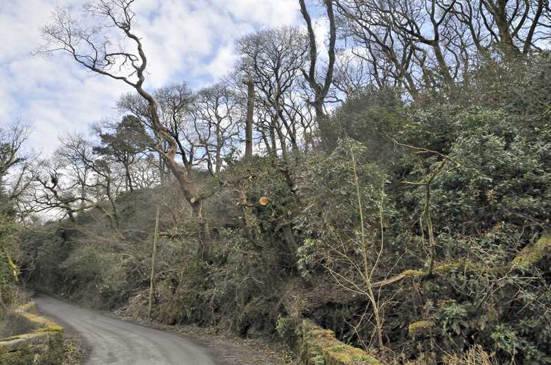
The road here had been multiply blocked with dozens of trees going over: now cut up and removed.
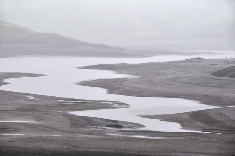
Thanks to this cold blast and a chilly rest-of-March and first half of April, spring was well and truly delayed in 2018. But then it was as if someone had pulled a lever and a pattern-change to warm and often dry conditions was the beginning of a trend into hot and dry in June and July. By late June, the ground was drying out rapidly and water-levels were well down in both rivers and reservoirs, as this shot of Nant-y-Moch shows:
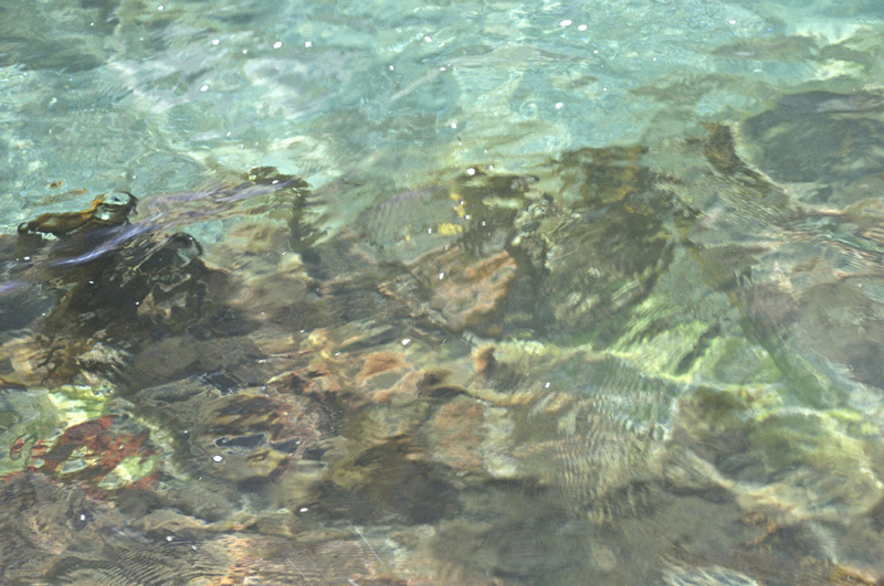
Lack of suspended sediment in the rivers allowed extraordinarily clear conditions to develop in the coastal waters - this is looking through ~2m of water off the edge of the intertidal reef at Borth: I have never seen such clarity in all the years I've fished this coast.
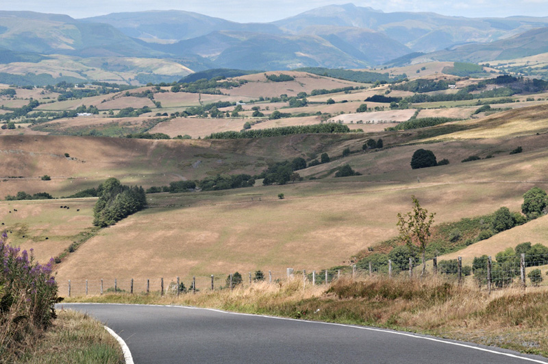
By late July - and the shot below was taken on the 22nd - the whole of the Dyfi Valley looked more like central Spain does from the air! This was becoming a serious problem for local livestock farmers: after the smallish first cut of silage was taken, the second one just couldn't grow in the hot and dry conditions. There may well be a feed crisis coming up this winter.
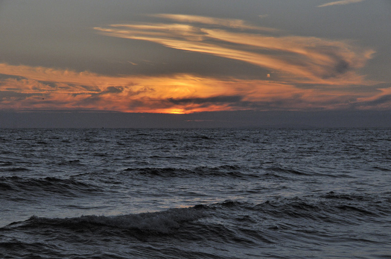
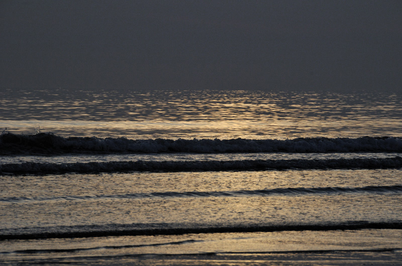
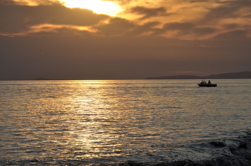
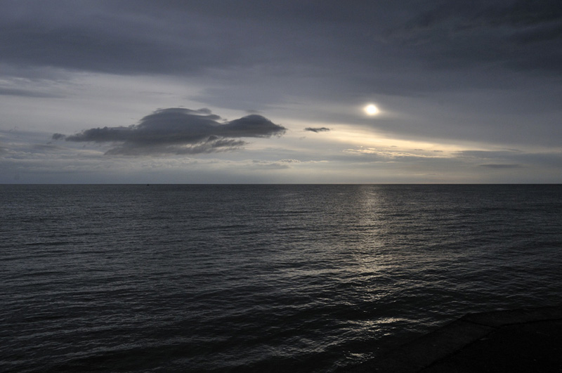
The guided shore fishing has again provided a steady if very modest income - and with the clear water and blazing midday sunshine predominating, sessions have had to take place on late evenings, so a few decent sunsets were enjoyed by clients and guide alike:
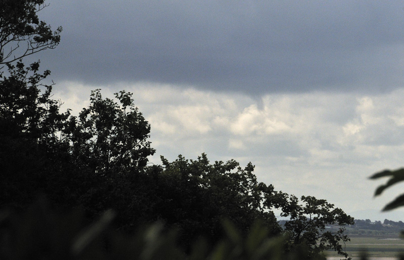
Early August finally saw more unsettled weather arriving, with some heavy rainfalls at times, although there is a long way to go to reduce the effects of the drought. August 10th brought some lively convective weather to the Dyfi Valley and the shots below were taken from HQ. The funnel-cloud was over the vicinity of Borth and just minutes before I went outside, it was a lot longer and more solid-looking.
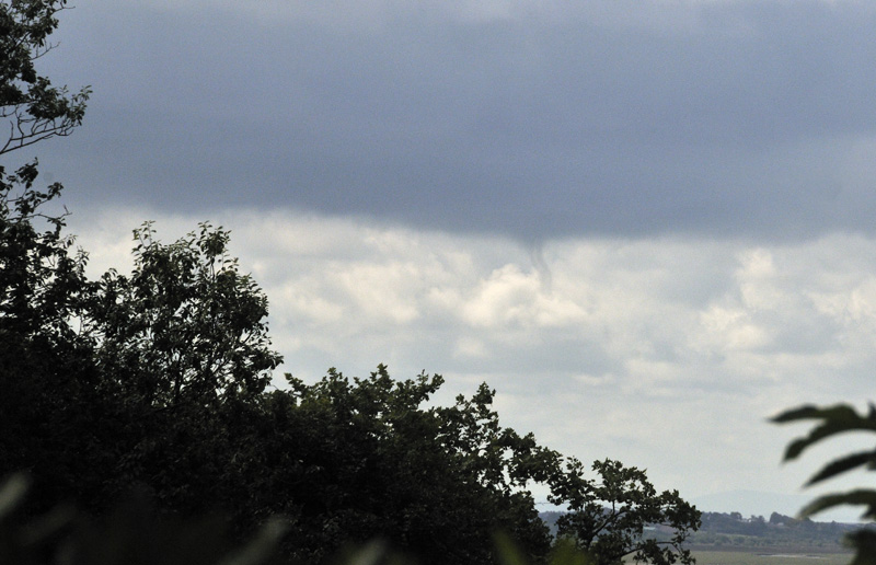
The same convective cloud-base provided another two possible funnels, this one inland:
and this one out over the sea:
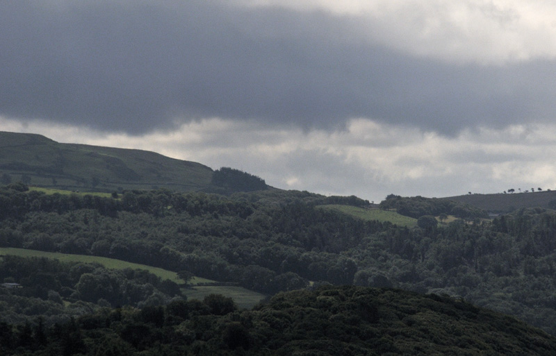
That afternoon I had a run up into the mountains and captured a bit more active convection - the first "chase" I have been on this year. I was quite pleased with these three shots:
As you might just be able to make out, the upper Dyfi Valley, visible between the boiling cloud-bank and its shadow on the ground, is now a lot greener than it was in late July. With more rain in the forecast, things are heading back in the right direction, for now.
How did this dry summer weather compare to the great drought of 1976? I recall that one vividly and it lasted well into late August. The temperature data (from NASA) for June 1976 show up the hotspot over NW Europe very clearly:
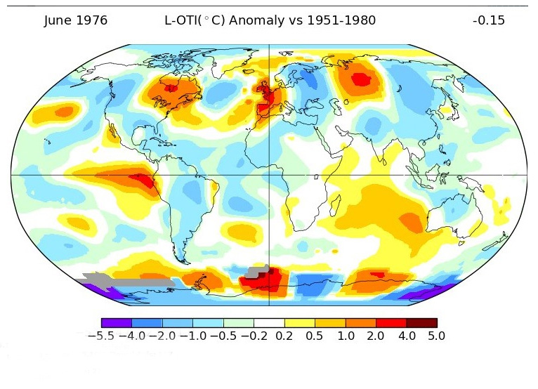
Now June 2018: the main difference is that the heat is far more widespread and intense.
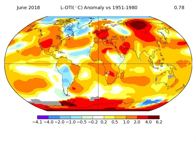
Global warming hasn't caused this hot dry weather but it is fairly evident that it has had an influence: the heat is more intense and far more widespread than it was 42 years ago - something that is consistent with adding non-condensing greenhouse gases to the atmosphere, whose composition is now akin to nothing seen during the glacial-interglacial cycles of the last 2.58 million years. Instead, Earth's atmosphere now closely resembles that of the previous period of geological time - the Pliocene, 5.33-2.58 million years ago. The change to the climate of that time will be gradual due to the physical inertia of various parts of the system, but that is the direction in which we are heading, right now.
Anyway, that's the year so far. Another update either in a few months, or sooner if anything unusual takes place!
The Welsh Weather & Dyfi Valley landscapes Image-Library - Click HERE
BACK TO WEATHER-BLOG MENU