AUTUMN
2004 - PART 2:
Modest coastal storm (05:10:04) and a few sunsets!
BACK TO WEATHER-BLOG MENU
New! Fine Art Prints & digital
images for sale-
Welsh Weather & Dyfi Valley landscapes Slide-Library
- Click HERE
The non-convective theme continued into early October but
on the 5th there were possibilities, with an unstable
cyclonic SW airflow covering the UK. It's that time of
year when convection is most intense over the sea -
forced by cold air moving over warmer waters. So having
watched the radar I headed up to Llwyngwiril to intercept
a mass of showers heading in, marking a line of
convective activity along a surface trough.....
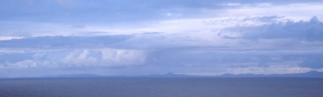 ...to be greeted by overcast skies and a fairly calm sea. At least the visibility seemed reasonable. This was looking NW towards the Llyn Peninsula..... |
|
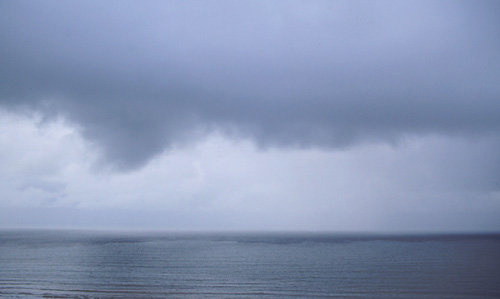
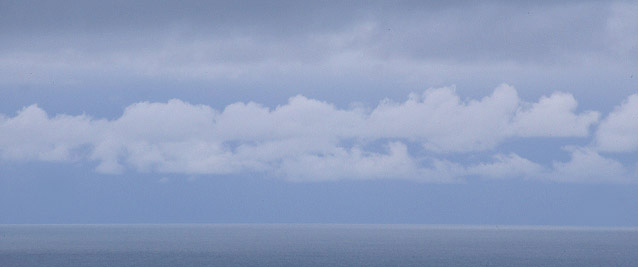 Shades of grey anyone? This was looking SW, at the approaching trough - superficially unpromising! |
|
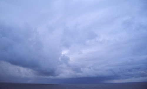 Eventually it started to show a bit more shape..... |
|
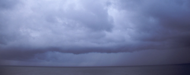 ....and later still as it came much closer a long gust-front developed. At this point there was a single bright lightning-strike into the sea - the only electrical activity this storm produced... |
|
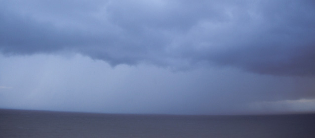 The main precipitation core was now due W so that it would miss me to my N...... |
|
 ...and looking SW a little later with the gust-front about to come ashore. This shot is quite pleasing as you can actually see the disturbance on the sea surface - exactly what the name means - a front along which gusty winds occur! |
|
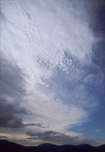 Nothing much occurred then until the very thundery 21st which gets its own page! On the 10th there were some occasionally spectacular high-level cloud formations - here photographed from Moel Hafod-Owen in the Coed Y Brenin Forest.... |
|
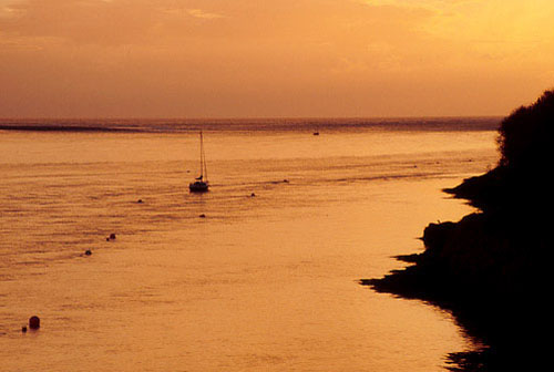 .....and at times there were some tidy sunsets, like this one over the Dyfi Estuary from just outside Aberdyfi.... |
|
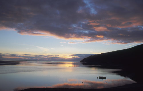 ....and this one from the Frongoch Boatyard, a few miles up the estuary.... |
|
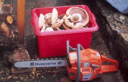 ...apart from which it was gathering-time..... firewood, mushrooms - it's been an excellent season! These I chop up and fry in garlic butter then freeze down in their own liquid for gastronomic moments in the depths of Winter! OK, now onto the October 21st storms - click HERE to go straight to the page! |
|
BACK TO WEATHER-BLOG MENU New! Fine Art Prints & digital images for sale- Welsh Weather & Dyfi Valley landscapes Slide-Library - Click HERE |