Cumulonimbus
evolution: 20 minute sequence -
May, 2002
BACK TO WEATHER-BLOG MENU
New! Fine Art Prints & digital
images for sale-
Welsh Weather & Dyfi Valley landscapes Slide-Library
- Click HERE
The view is looking northward from the Wynford
Vaughan-thomas pulpit on the Machynlleth-Dylife mountain
road. Shower activity is affecting Dinas Mawddwy and the
Arans but later extends as the cloud intensifies.
Sadly I didn't note the exact date.
However I remember storms forecast for Central England
but high pressure building from the west. These were
taken during the morning before the pressure rise killed
off convective activity over the Welsh mountains.

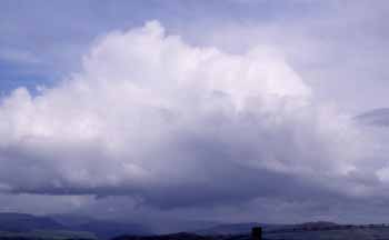
Fairly ordinary-looking shower-cloud........
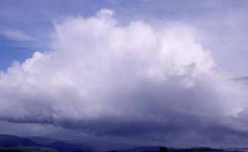
Rapid upward building commences.........
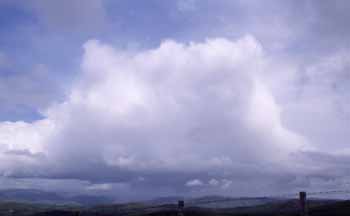
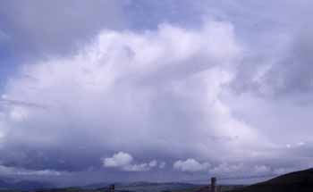
Continues to build with striated anvil evident (R).....
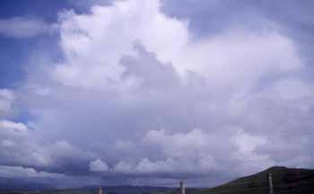
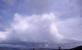
Scud obscuring things to an extent but still going
up.....


Anvil too high to get with any foreground any more!
This is one of the best vantage-points for weather
photography in Mid-Wales!
The
shower produced heavy precipitation but did not turn
thundery, at least while I was there. I left shortly
afterwards as developments became totally obscured by a
second cumulonimbus coming in from the SW. Good while it
lasted though!
BACK TO WEATHER-BLOG MENU
New! Fine Art Prints & digital
images for sale-
Welsh Weather & Dyfi Valley landscapes Slide-Library
- Click HERE