MAY 2004 PART 3:
More convergence-zone thunderstorms -
May 11th 2003
BACK TO WEATHER-BLOG MENU
New! Fine Art Prints & digital
images for sale-
Welsh Weather & Dyfi Valley landscapes Slide-Library
- Click HERE
After
the pleasing results on May 10th, I decided to repeat the
exercise the following day - in theory, that is!
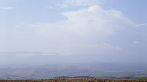
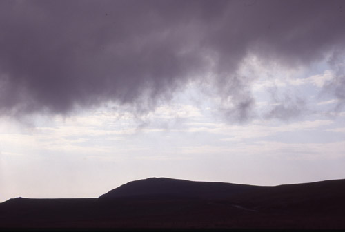
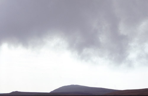
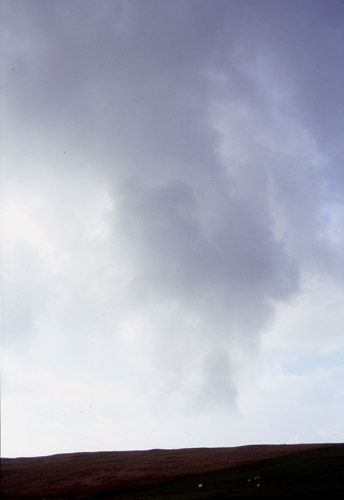
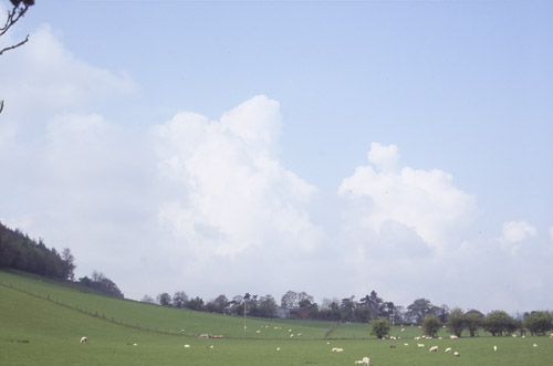 Once again by mid-morning towers were building, this time further west over the Cambrian Mountains. In this image, taken from near Carno, the big problem can be seen - haze! I traversed SE again, almost to Knighton, but it was becoming obvious that the action was going to be closer to home today. It was also obvious that the haze was going to play hell with cloud-base observations. All that moisture from yesterday's downpours wrecking today's opportunities. So rather disconsolate, I drove back west, passing through a mucky-looking thunderstorm near Carno but emerging near Llanbrynmair into much clearer skies. Maybe the day was not lost after all?? I turned off the main road for Cwm Pennant and up, via Staylittle to the top of the pass near Dylife..... |
|
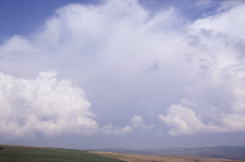 ....where I spent an enjoyable two hours sunbathing, listenting to the thunder rolling abound the hills and taking the occasional photo! |
|
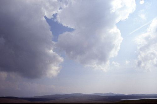
 It was interesting to watch this storm "feed itself". The towering cumulus clouds in the foreground were moving south then south east, to be absorbed into the gloomy mass of the storm itself... |
|
 Here's a close-up.... |
|
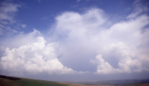
 Meanwhile, new towers were going up to the south.... |
|
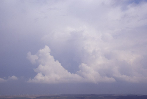
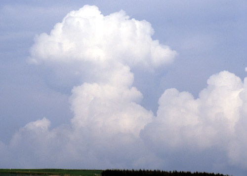 ...and to the north. This one almost looks like a mushroom-cloud!! However these soon dissipated so thinking the show was over I headed for home. But at about 5pm rock-hard convection could be seen from my window so I went back up there... |
|
 ...noting another storm over N Wales on the way.... |
|
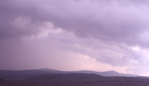 ...and at the place I'd been earlier, it was very close to me, almost overhead. This is looking towards Plynlimon.... |
|
 ...and this is looking in the opposite direction, towards Moel Fadian. Although the image cannot show what was happening, these low scud-clouds were rotating: the nearest ones going L-R and those behind going R-L. This may have been a wind-eddy as the ground falls very steeply away beyond Moel Fadian, but the effect this close-up was spectacular! |
|
 The rotation was associated with this slightly lower area of scud-cloud.... |
|
 ...here taken in portrait format. And that was that! Two days of contrast, of wonder, excitement, frustration and satisfaction - emotions that go hand-in-hand with this activity. Getting back to work after that was something of an anticlimax! |
|
BACK TO WEATHER-BLOG MENU New! Fine Art Prints & digital images for sale- Welsh Weather & Dyfi Valley landscapes Slide-Library - Click HERE |