Spring
2005 PART 4:
Dramatic stormy skies over Borth
22nd May 2005
BACK TO WEATHER-BLOG MENU
New! Fine Art Prints & digital
images for sale-
Welsh Weather & Dyfi Valley landscapes Slide-Library
- Click HERE
May - the height of the traditional
"chasing season" in the USA - but often a
variable month in the UK. We can have heatwaves, thundery
breakdowns, gales, snow, frost - the lot - all in 4
weeks!
May 2005 saw the first decent "Spanish Plume"
right at the start with overnight elevated thunderstorms
that lit the sky up for those who stayed up - sadly I was
not one of them! May Day Bank Holiday featured further
stormy weather - of note being the squall-line that
tracked N and E across England and Wales, passing through
here at lunchtime and sending visitors scattering from
the beaches. It was not overly photogenic but here's a
shot of its gust-front I grabbed as it slammed into
Aberdyfi:
 |
|
Mostly
however we saw little in the way of storms
(conversely Eastern England saw many, some with
funnel-clouds and tornadoes) but instead lots of
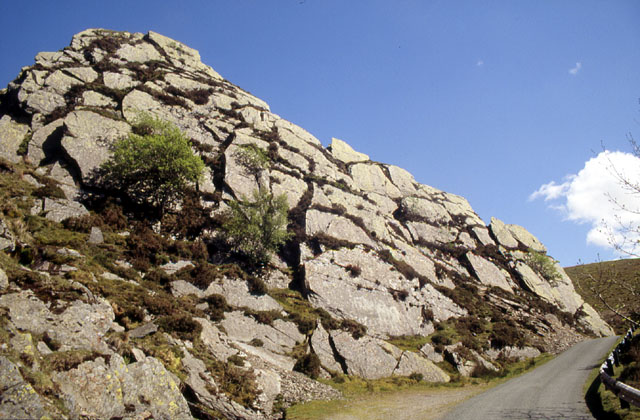
weather like this: Vector Buttress, Tremadog |
|
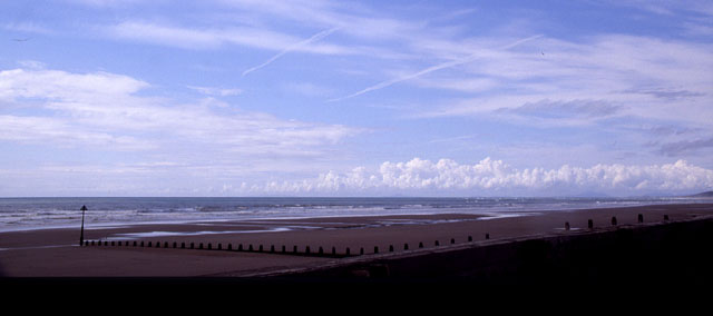
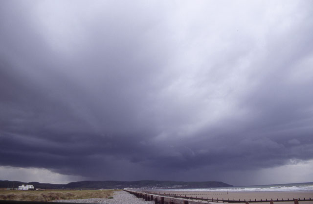
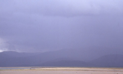
 On Sunday May 22nd, storms did get going, over SW Wales. These were tracking up the coast and were interceptable at Borth, where I spent the afternoon. Driving through a torrential downpour down the Dyfi valley things looked promising, but on arrival at the coast the prospects seemed to be fading quickly with the convection decaying.... here looking SW down towards Pembrokeshire.... |
|
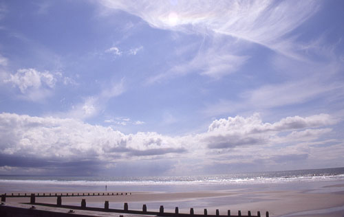
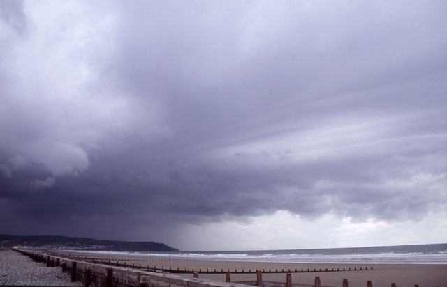
 ...and here looking NW up towards the Lleyn Peninsula, its spine marked by a line of bubbling cumulus clouds forming as a result of sea-breeze convergence with the SW steering wind. I spent a couple of hours chilling out in the sunshine waiting for something to happen until distant blackness down to the SW indicated the convection had kicked off again. I simply had to await its arrival..... |
|
 ...this was ideal - the storm would head towards but just inland of me offering good views as it approached and passed - the only question being would there be anything worth seeing when it did?? |
|
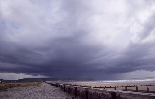
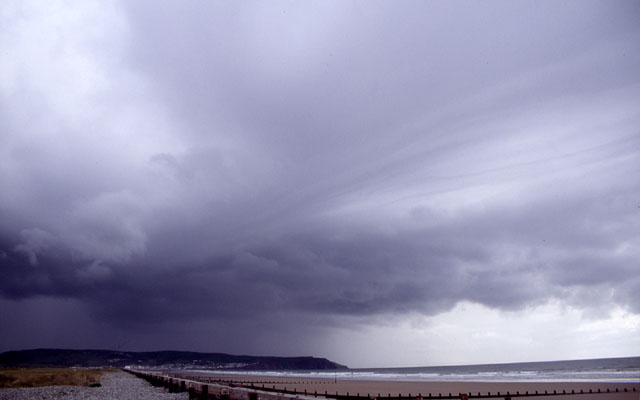
 By now the cell was over Aberystwyth. Another decaying cell was a few miles out to sea, to the R of the field of view here.... |
|
 ...with a long striated band of cloud connecting the two.... |
|
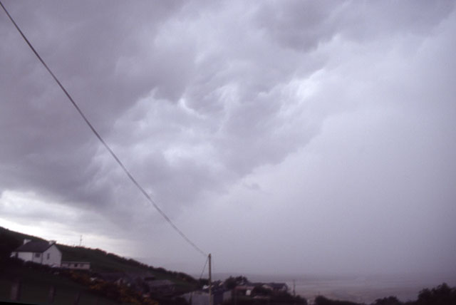
 ...providing a dramatic sight and the photographic highlight of the day! The cloud-band marked the outflow (cold, rain-cooled air at low levels) from the old cell, which upon meeting the active one gave it some more vigour by forcing more warm air up into its inflow area. The smooth striated front marks the boundary of the outflow with the warmer ambient air in the local environment. It also serves to make the whole lot look fairly ominous!! |
|
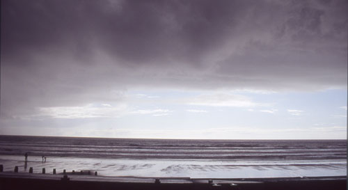 Once all of this had moved overhead, it became clear that there was little of interest following, so after grabbing this pic I followed the storm inland...... |
|
 ...here seen from Ynyslas sands it is giving torrential rain over the Eglwys Fach area. A friend living on a farm there reported several rolls of thunder among the hills at this time. That was it for me in May 2005! On a more summery theme the image below was taken on the way up the Bwlch-y-Groes pass between Llanuwchllyn and Dinas Mawddwy the following Sunday. And as I have been writing this the next Spanish Plume has started to arrive and talk again is of where tomorrow's anticipated thunderstorms will be - in front of my camera lens hopefully! |
|
 |
|
BACK TO WEATHER-BLOG MENU New! Fine Art Prints & digital images for sale- Welsh Weather & Dyfi Valley landscapes Slide-Library - Click HERE |